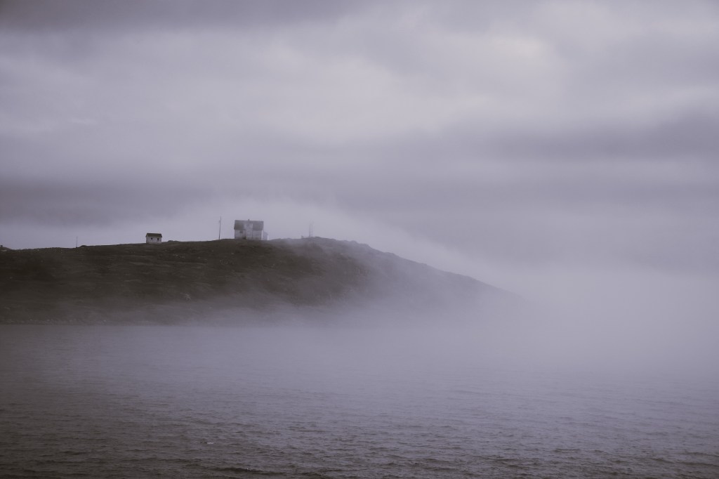
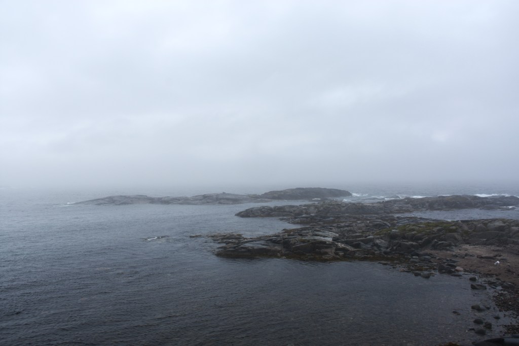
As we meandered up the Trans Labrador Highway, every so often a signpost indicating a place of potential interest would emerge out of the fog. We stopped at a couple but soon learned that most of the signs contained the same level of information we had experienced on Newfoundland.

One attraction that warranted a mention in the guidebook was the lighthouse at Point Amour. At 33.2 metres (109 feet) this is apparently the tallest lighthouse in Atlantic Canada, and second tallest in Canada. [For trivia buffs, the tallest is at Cap-des-Rosiers on the Gaspé peninsular, Quebec, at 34.1 metres or 112 feet.] I can attest that the view of the fog-bound coast was worth the 132 steps (including two ladders) which I climbed to get to the light. This can be seen for some kilometres and is rather bright at less than a metre!

The lighthouse-keeper’s cottage has been converted into a museum, and here I discovered that James Cook mapped this coast in 1764. It was not an unknown coast, for the Basque people from the Bay of Biscay had been hunting whales here since the 1500s. In his role as Marine Surveyor of Newfoundland (1763-1767), Cook produced what came to be considered the definitive chart of Red Bay, the centre of the Basque whaling industry, as well as many other charts of the northern and western coasts of Newfoundland.
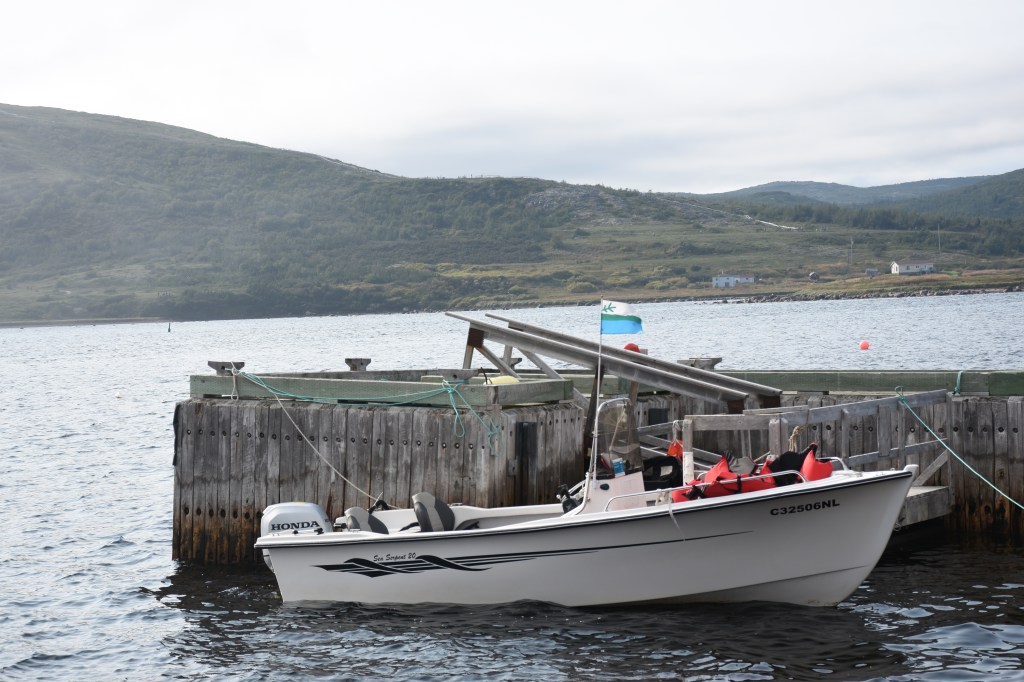
Red Bay is now a UNESCO heritage site, a designation it received as being the only almost complete example of a late mediaeval / early renaissance whaling station in North America. There is an excellent interpretive centre here, and admission gets you a boat ride across to Saddle Island. In one of those weird Health and Safety things, any Parks employee on the boat has to wear a life preserver; they’re optional for passengers.
I was fortunate in that I got to go across to Saddle Island with a most knowledgeable guide, Karen Pye, who is originally from the community. We walked all around the island, and she showed me the various sites identified by the archaeologists. There is a small cemetery where over 150 graves have been located, and nearby the footings of a square building believed to be either a chapel or a mortuary.
A new boardwalk is being constructed and from it the sites of the firepits, tryworks, cooperages and earthworks are clearly visible. These indicate locations where whales had been flensed, and the blubber boiled down for oil.

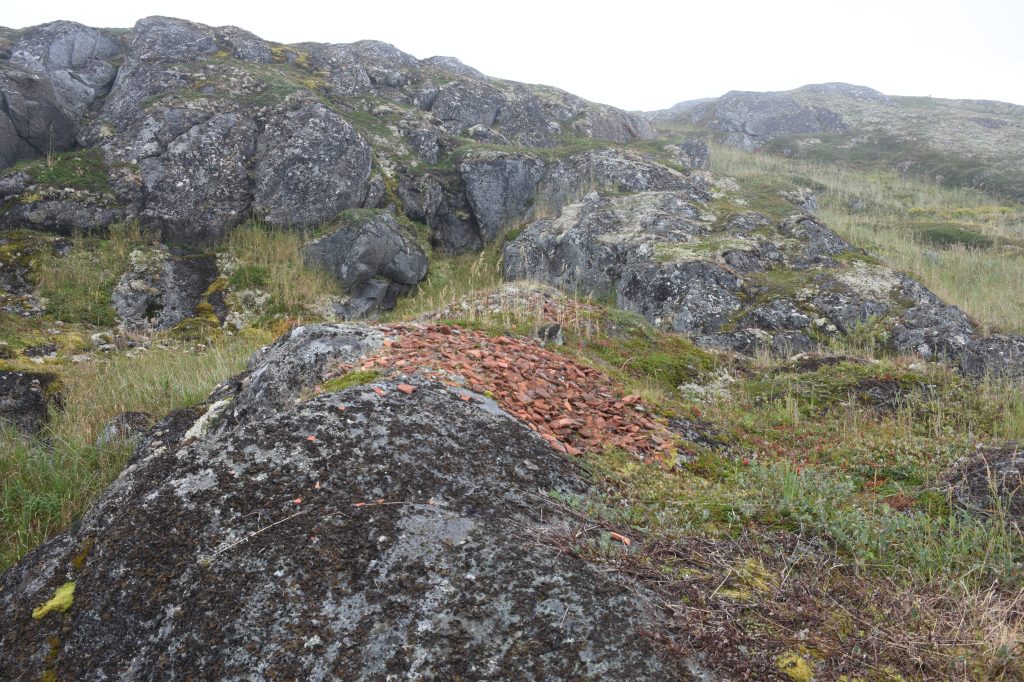
I had thought that some of these artefacts remained in situ, but it seems not. There was a great fuss in the early 1970s when archaeologist Selma Huxley Barkam discovered that what the children called ‘magic stones’ were in fact five-hundred-year-old terracotta roofing tiles. These were magic to the children who could use them to draw and write on other rocks, and magic to the scientists who realized that the discovery provided definitive evidence that the Basque had constructed buildings here. These were summer shelters only, for the whaling trade was one of work, not settlement, and it seems that most men slept on the ships.
The tiles had been brought as ballast on the whaling ships, and for the return journey were replaced in the cargo holds by barrels of whale oil. The barrels were made of white oak, staves of which were brought over for the purpose. The coopers used locally sourced willow and alder to fasten and tighten the staves into barrels, which were then rolled down to the rendering stations. The flensing of meat and blubber from the whales took place either on shore or in shallow water, and even now the ancient bones of 16th century whales can be seen among the granite stones of the beach.

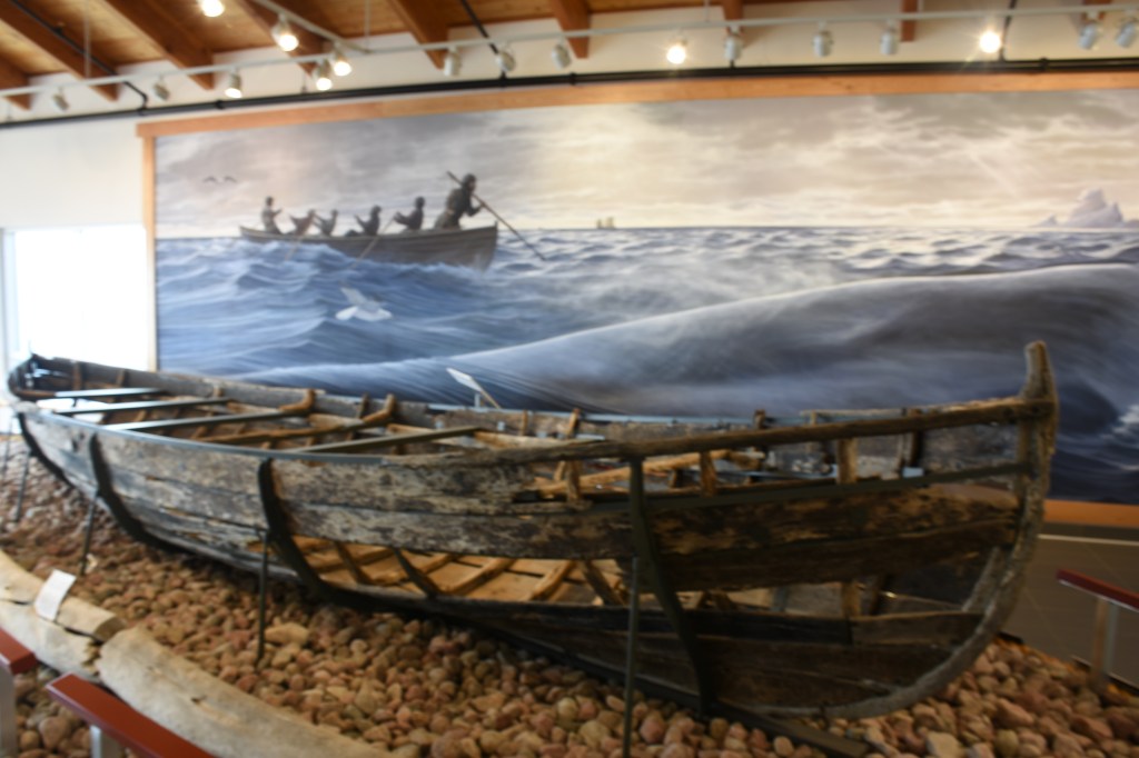
The whales were hunted from a narrow longboat, known as a chalupa, that was launched from the whaling ships. A whale was harpooned, and the head of the harpoon automatically separated from the shaft. A cork float tied to the end of the line showed where the whale travelled and was followed until the creature died and could be brought ashore. In Red Bay divers from Parks Canada led the excavation of a sunken whaling ship, believed to be the San Juan which foundered during a storm in 1565. The various parts of the San Juan were carefully catalogued and then returned to the bay. Here they were buried under layers of silt, then covered with a tarpaulin weighted by cement filled tires to hold everything in place. Underneath the galleon were found the remnants of a chalupa, which was then reconstructed, preserved, and put on display at a second Visitor Centre, this one up on the hill.
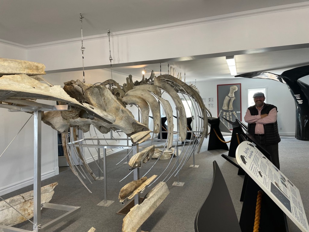
It turned out that there were three interpretive centres in the community, two run by Parks Canada and the third by the Town of Red Bay. This last one doesn’t say much about the Basques, the focus is on the whale itself. There is a partially reconstructed skeleton of a Right Whale, the favourite species for all whalers because it produced a plentiful amount of oil and baleen. The skeletal fin on the wall apparently took six men to lift into place.
There is no reference to Cook at any of the visitor centres in Red Bay, or indeed to anything other than the Basque whaling industry. It appears that everything before or after those seventy years between 1530 and 1600 has, like much of the coastline, simply been lost in the fog.
In 1768, Cook was promoted to Lieutenant and given command of HMS Endeavour. In what became the first of three expeditions to the Pacific, he was charged with taking a scientific expedition to Tahiti to observe the transit of Venus on 3 June 1769. I often wonder whether Cook, five years after sailing the coast of Labrador, sat on Matavai beach and thought to himself, “Jeez, I’d rather be in Red Bay”?
Nah. Don’t think so.
